

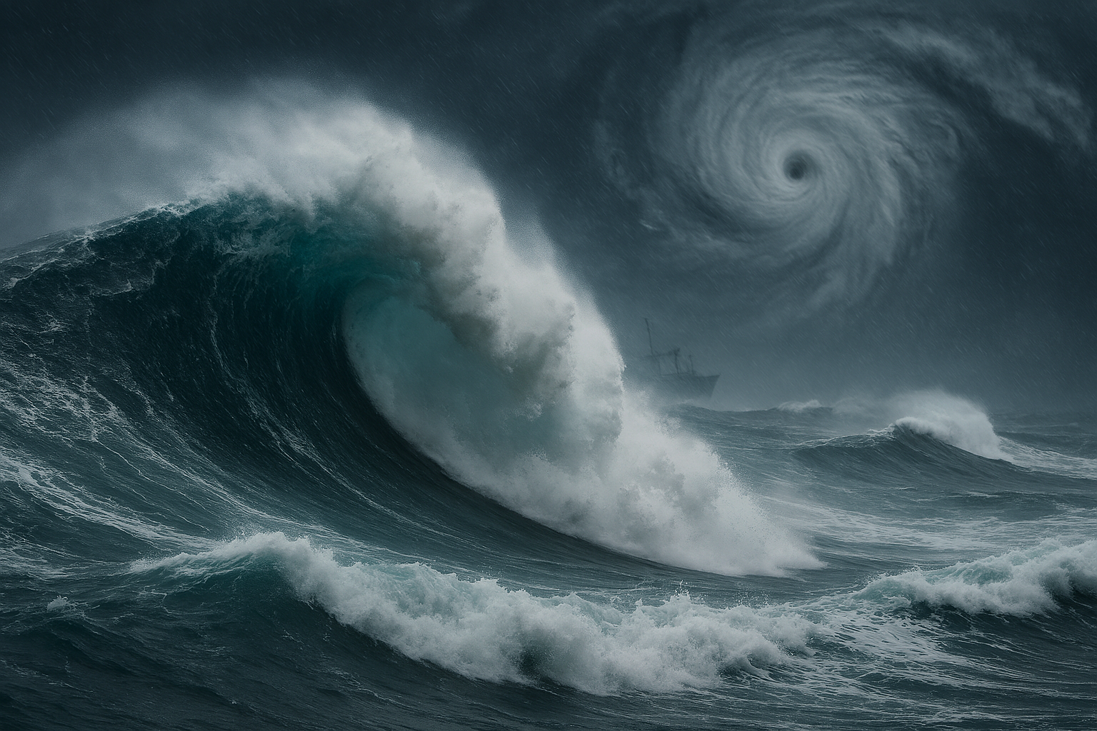
Hurricane Erin is threatening Atlantic shipping routes with extraordinary 16-meter waves, posing a grave maritime hazard as the storm moves between the U.S. East Coast and Bermuda.
Hurricane Erin is currently located roughly 690 miles south-southeast of Cape Hatteras, North Carolina, with maximum sustained winds near 105 mph. The storm’s expansive structure—with hurricane-force winds reaching up to 80 miles from its center and tropical-storm-force winds stretching 205 miles—has generated powerful swells across vast stretches of the Atlantic.
Forecasters warn that significant wave heights within 330 nautical miles of the storm’s southern semicircle could reach 16 meters (about 53 feet). Even more alarming, meteorologists say individual waves may be more than twice that height, potentially exceeding 30 meters (nearly 100 feet). Such conditions present one of the most extreme maritime threats in recent years.
These massive seas not only endanger coastal communities—where storm surge, beach erosion, and rip currents are already forcing evacuations and beach closures—but also threaten trans-Atlantic shipping lanes. Mariners are urged to heed warnings, remain clear of the storm’s projected path, and monitor updates closely.
Forecasts indicate that Erin’s generated swells will influence waters as far-reaching as the Bahamas, Bermuda, the U.S. East Coast, and Atlantic Canada. Along the U.S. coastline, authorities have issued evacuation orders and flood warnings, particularly across North Carolina’s barrier islands, where coastal flooding and erosion are already intensifying.
Impact on Shipping and Marine Operations
- Extreme wave heights of 16 meters, with potential peaks exceeding 30 meters—posing severe risks of capsizing and structural failure for vessels.
- Severe disruption to Atlantic shipping routes, particularly those connecting Bermuda with the U.S. East Coast.
- High alert for offshore platforms and fishing vessels, which remain especially vulnerable in such conditions.
- Constant monitoring advised, as forecasters caution that changes in track, storm size, and intensity remain possible.
Summary at a Glance
| Aspect | Details |
|---|---|
| Wave Forecast | Up to 16 m (53 ft) significant wave heights; possible individual waves over 30 m |
| Shipping Impact | Extreme hazard to vessels; major disruptions expected along East Coast/Bermuda corridors |
| Coastal Effects | Evacuations, flooding, and erosion across Outer Banks and beyond |
| Watchfulness Needed | Mariners urged to avoid path and monitor official hurricane advisories |
Hurricane Erin presents an unprecedented maritime danger. With enormous swells forecast along major shipping corridors, vessel operators must prioritize safety and avoid the storm’s vicinity. Coastal communities, too, must remain on high alert as the storm continues to generate flooding, dangerous surf, and life-threatening conditions.
Stay with us for verified, expert, and on-the-ground maritime journalism.
Contact: news@allinmaritime.com
Tel: +27 063 069 1191
Offices: Durban | Lagos | Abidjan | Dakar
All in Maritime News — Your Source for Maritime Intelligence
